Find your next…
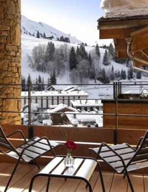
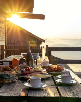
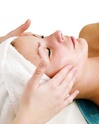
Like any physical activity, skiing is a demanding sport. To keep going for hours, days and weeks on end, you need to listen to your body, relax and refuel. Luckily, après-ski […]
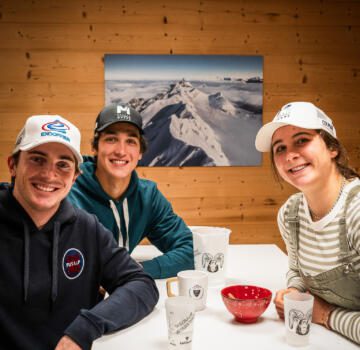
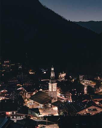
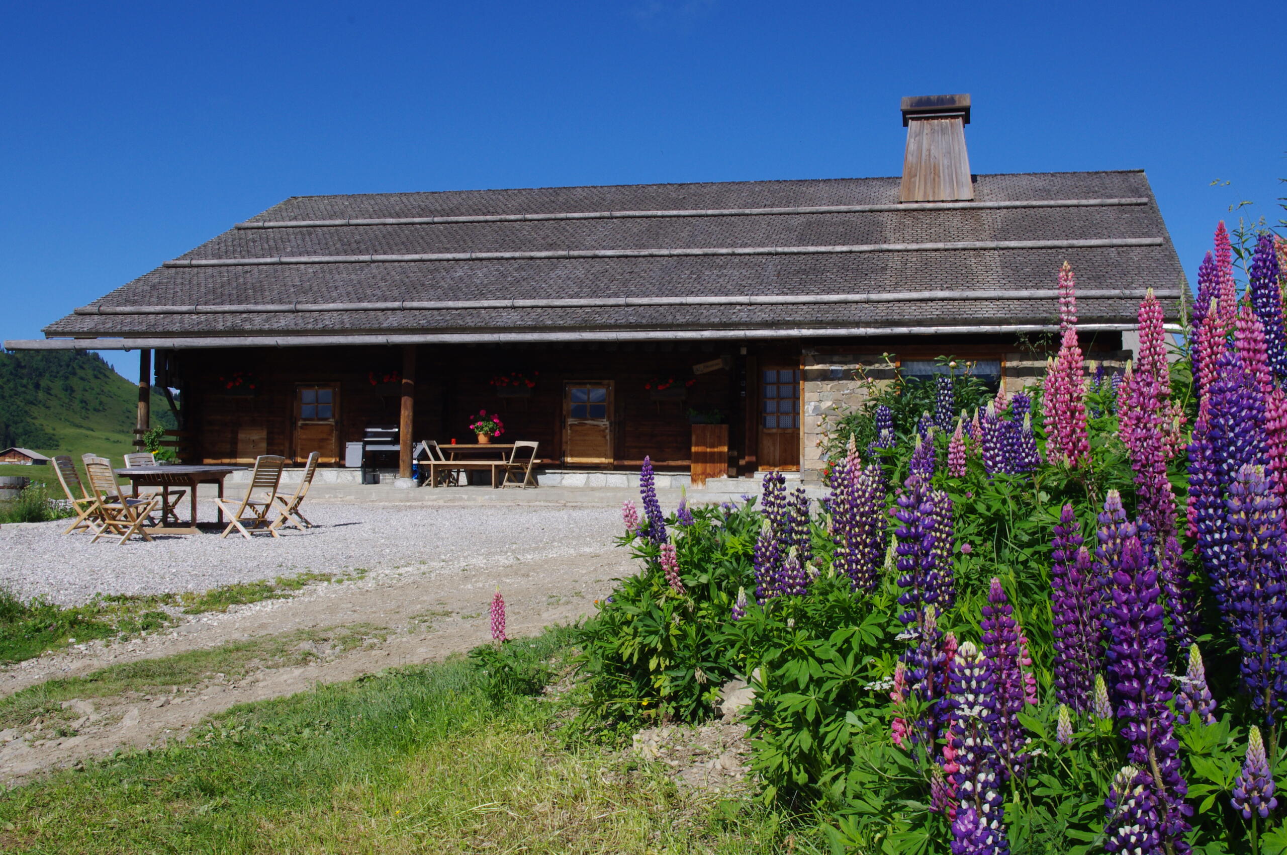
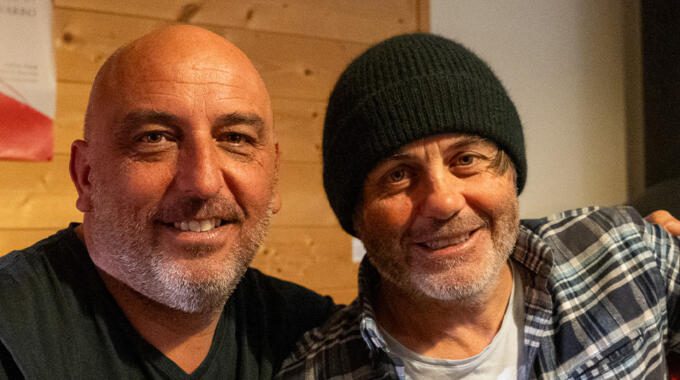
We crashed at Yannick Bestaven’s place while he was on vacation in La Clusaz. The winner of the last Vendée Globe was visiting us with his family, but also a little […]